Log in
All resources
Create a design
684 Free Images of 1876 Maps
smithsonian libraries
géographie générale; physique, politique et économique (1876)
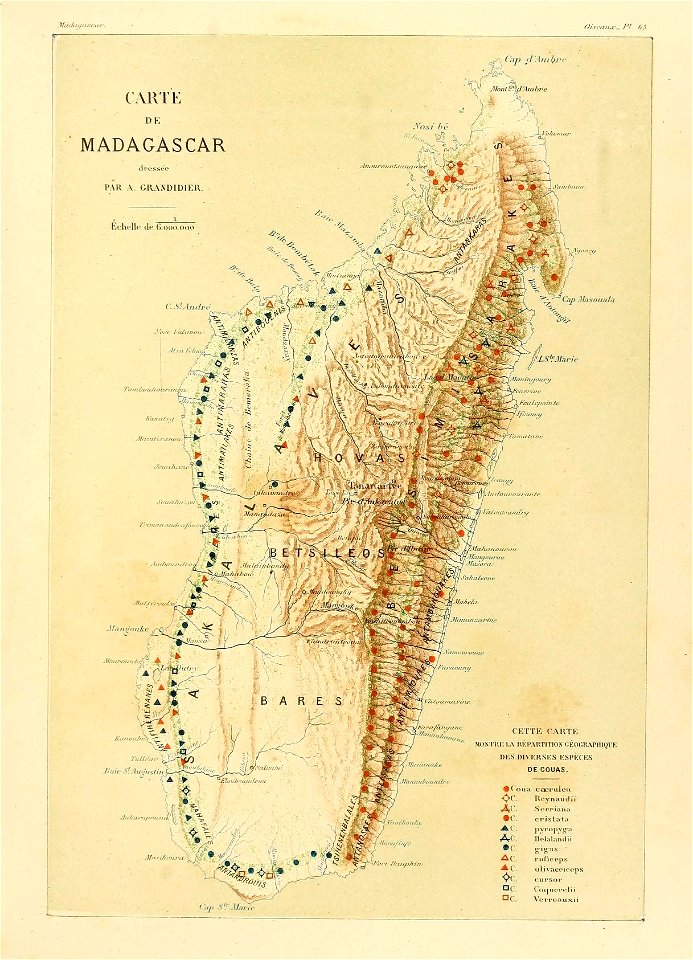
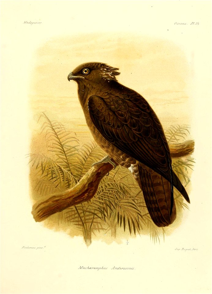
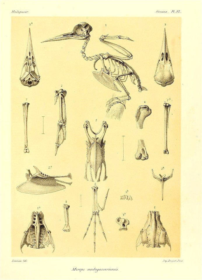
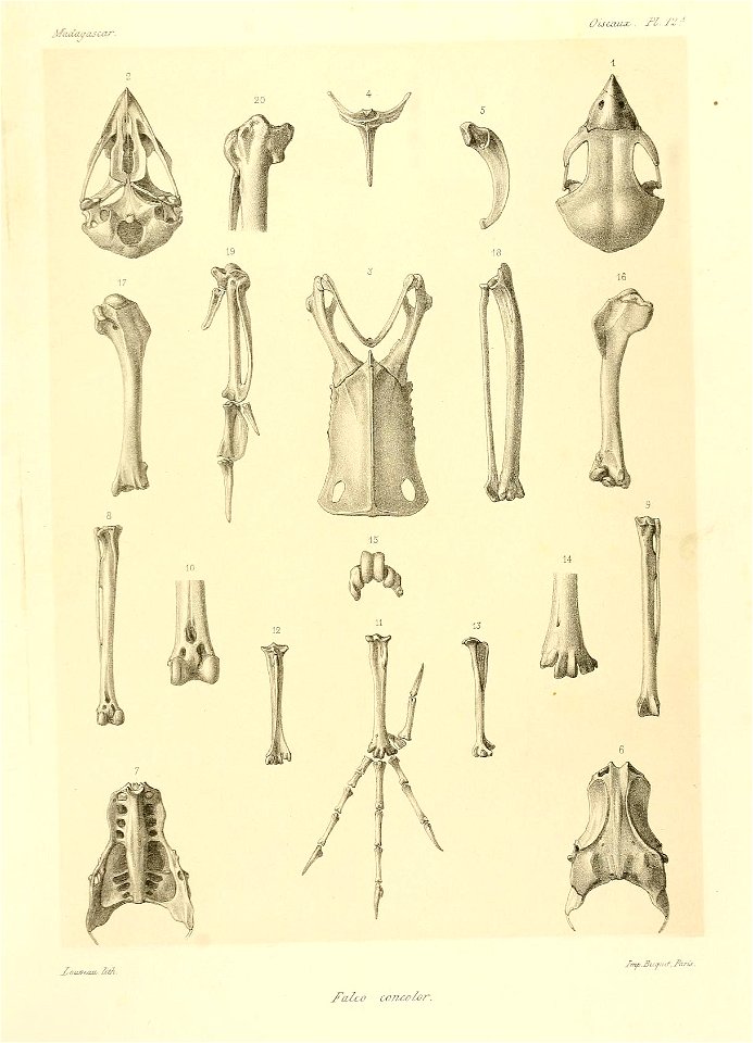
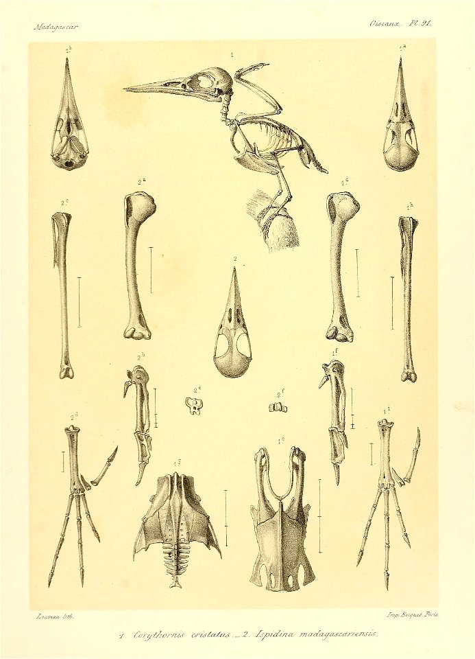
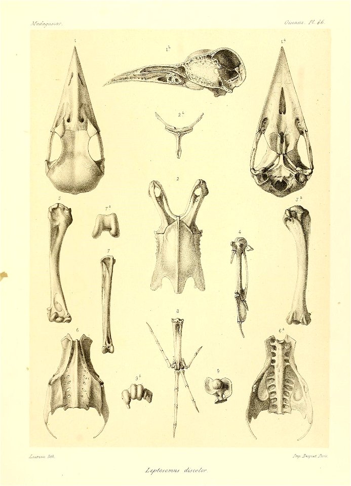
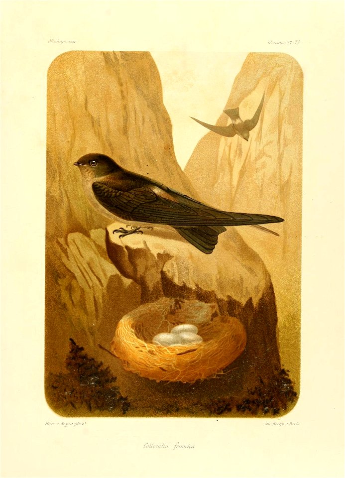
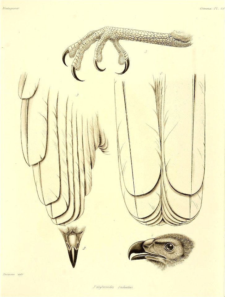
madagascar
natural history
description and travel
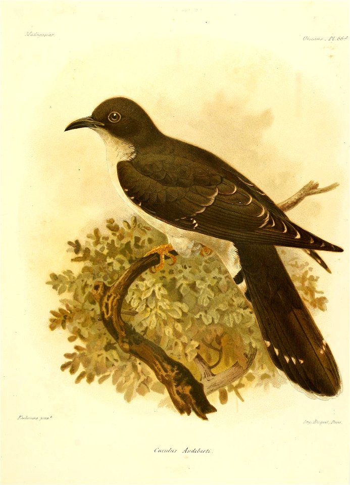
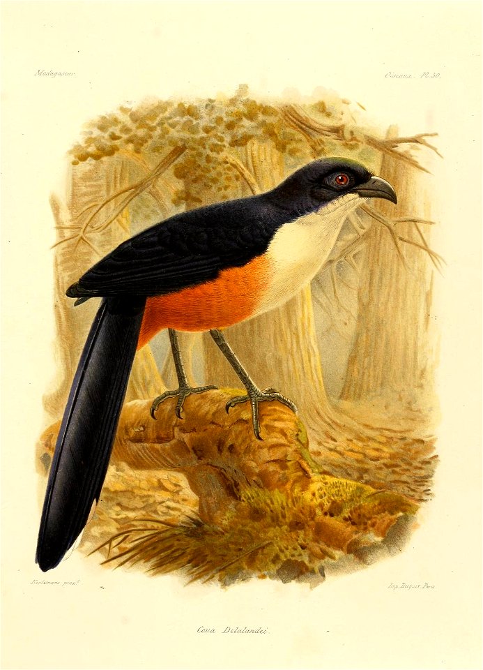
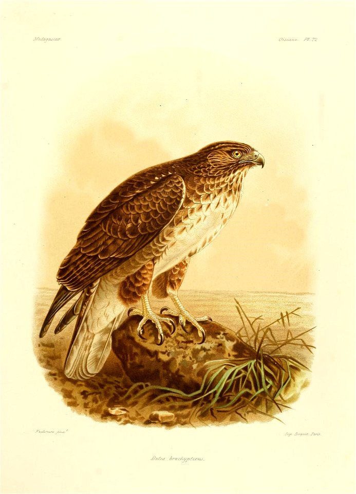
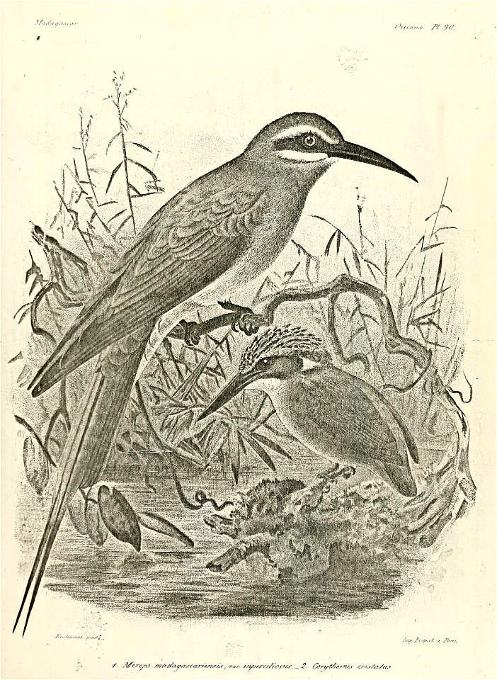
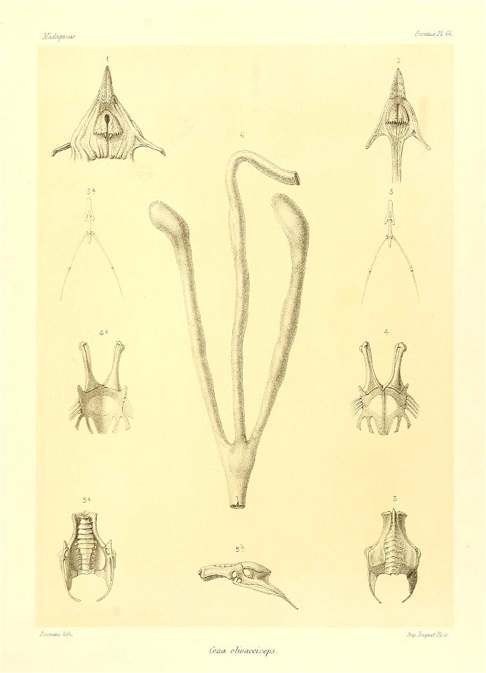
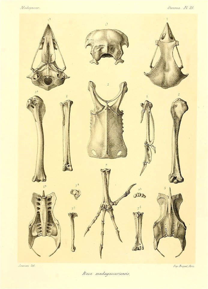
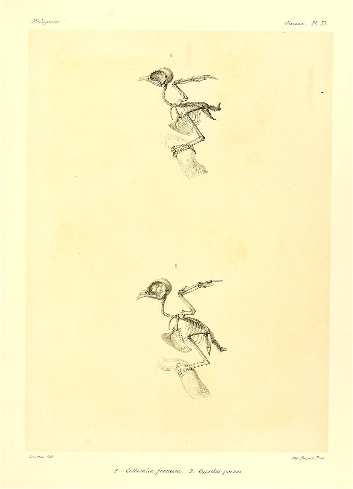
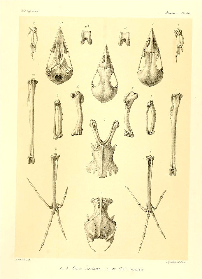
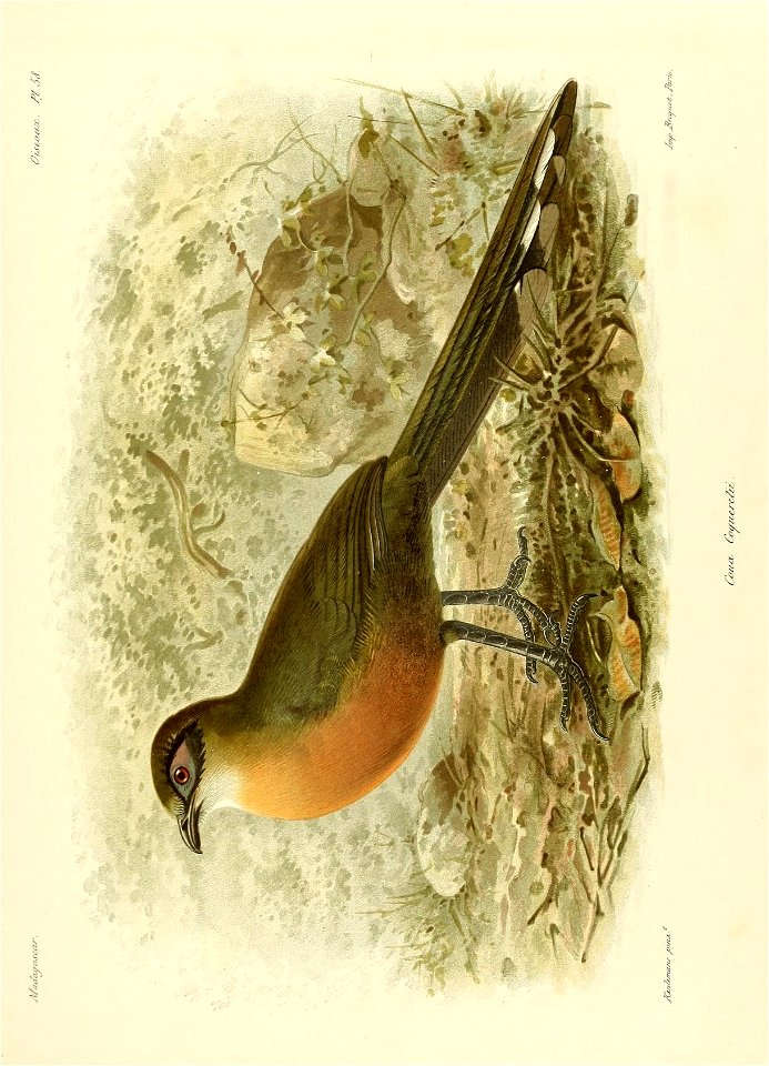
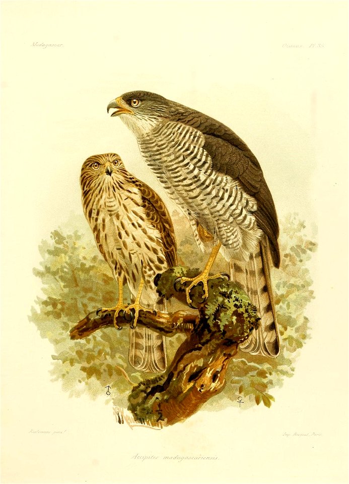
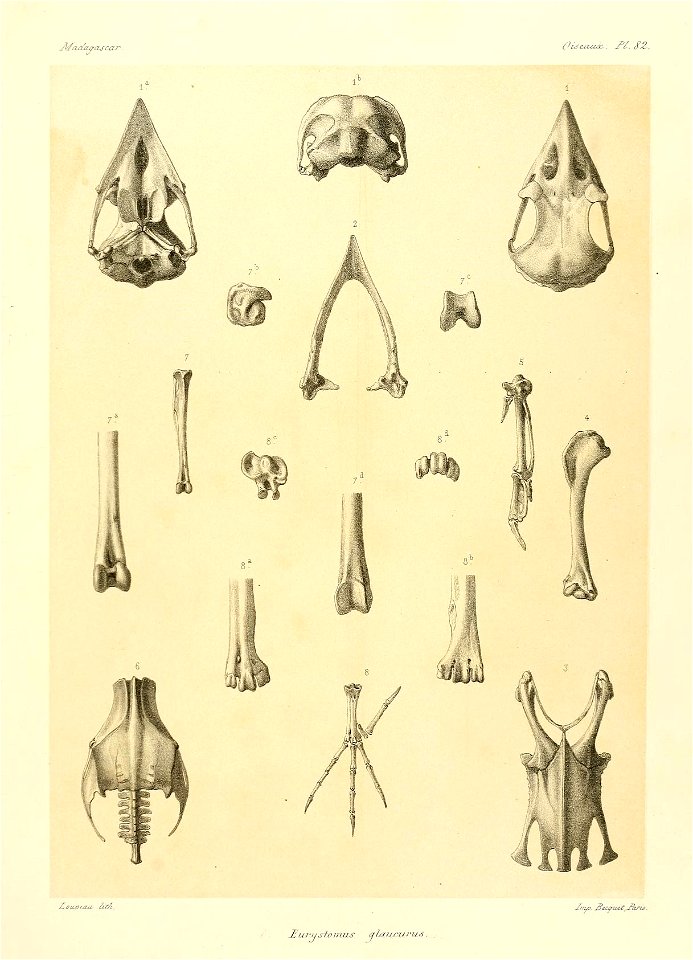
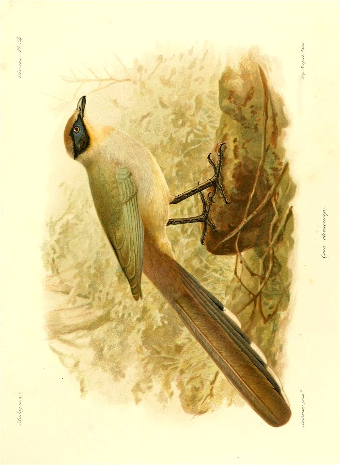
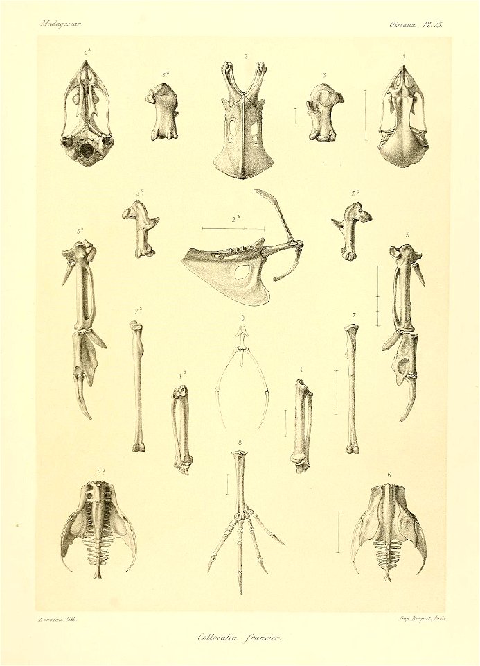
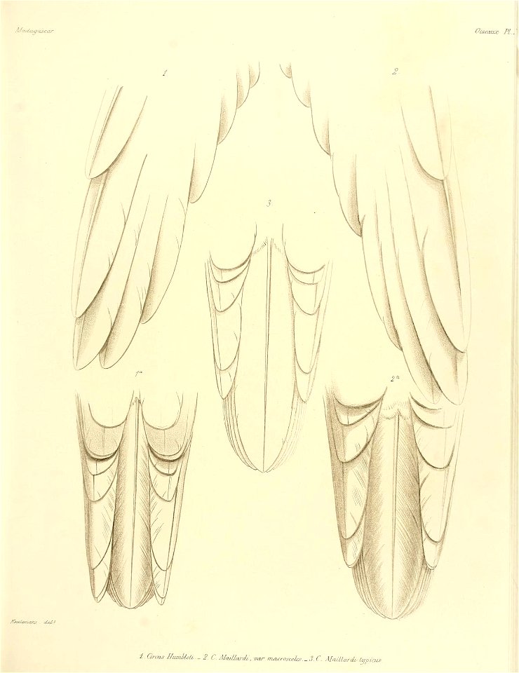
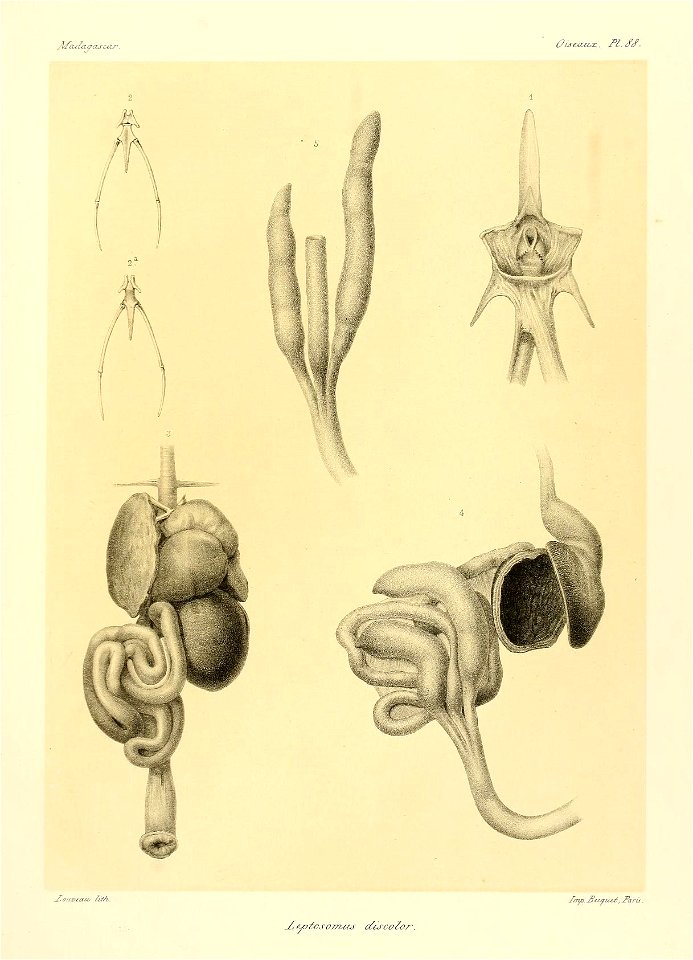
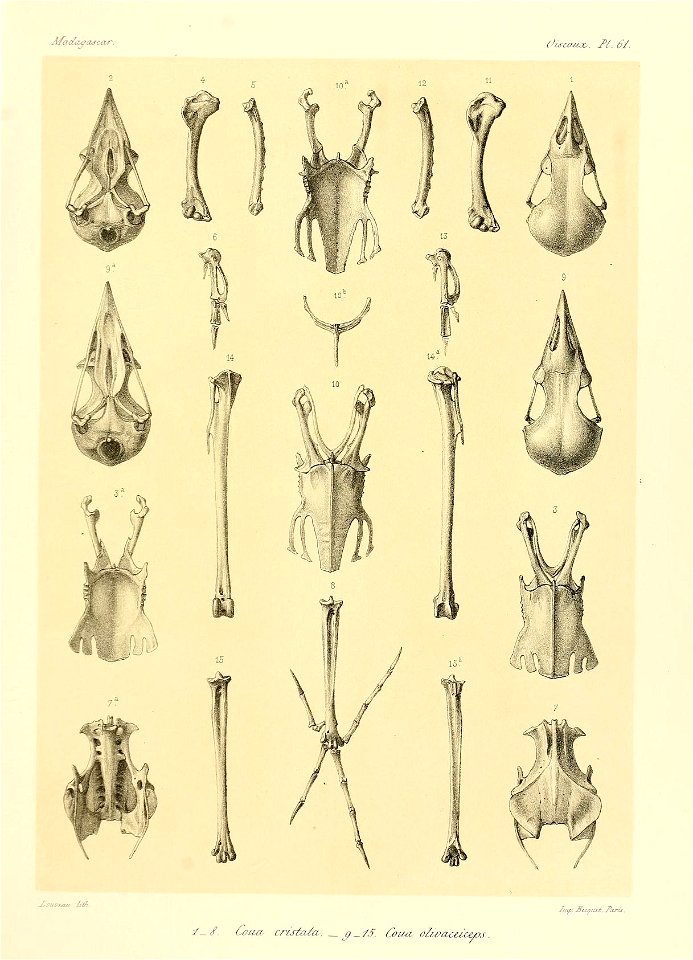
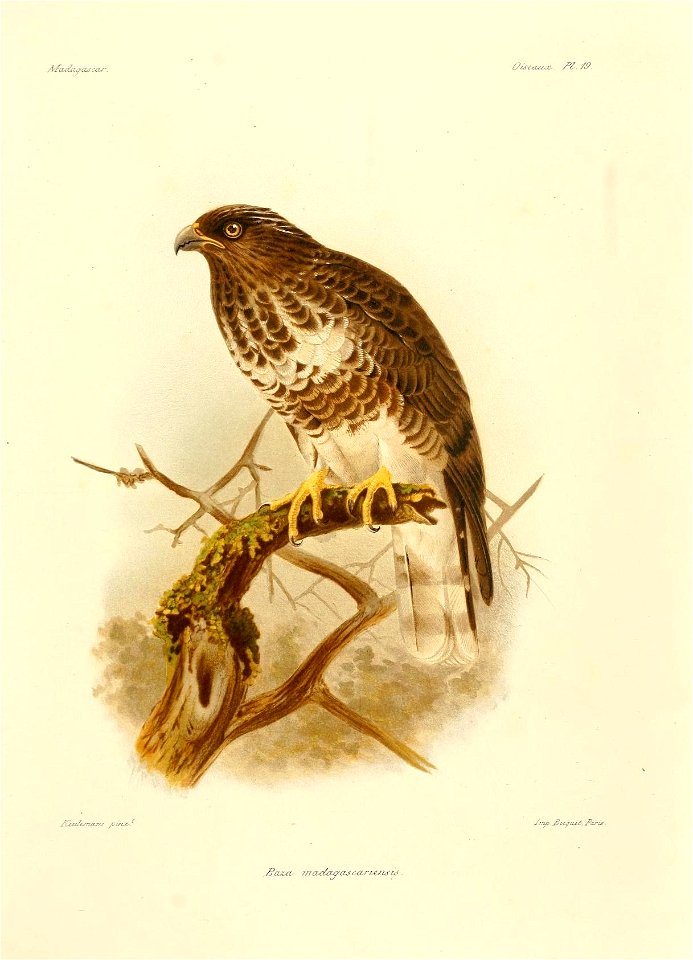
histoire physique, naturelle, et politique de madagascar v.13=t.2 (1876) [oiseaux atlas pt.1]
bird
the comprehensive history of england (1876)
english-language maps showing history
1870s maps showing history
the comprehensive history of england (1876)
english-language maps showing history
the comprehensive history of england (1876)
english-language maps showing history
the comprehensive history of england (1876)
english-language maps showing history
the comprehensive history of england (1876)
english-language maps showing history
the comprehensive history of england (1876)
english-language maps showing history
the comprehensive history of england (1876)
english-language maps showing history
the comprehensive history of england (1876)
english-language maps showing history
the comprehensive history of england (1876)
english-language maps showing history
the comprehensive history of england (1876)
english-language maps showing history
the comprehensive history of england (1876)
english-language maps showing history
the comprehensive history of england (1876)
english-language maps showing history
old maps of england
1860 maps
the comprehensive history of england (1876)
english-language maps showing history
the comprehensive history of england (1876)
english-language maps showing history
ornament
maps
cuninghame, topographized by timothy pont (1876)
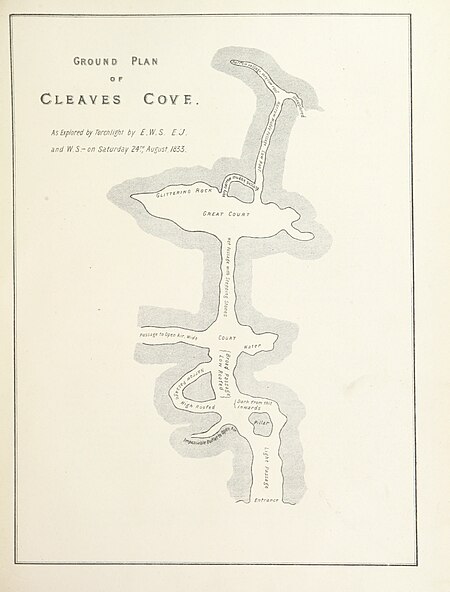
maps of caves in the united kingdom
cuninghame, topographized by timothy pont (1876)
1870s maps of scotland
nouvelle géographie universelle, vol. xvii
19th-century maps of guadeloupe
maps from the earth and its inhabitants, vol. ix
maps from the earth and its inhabitants, vol. ix
nouvelle géographie universelle, vol. xvii
19th-century maps of guadeloupe
nouvelle géographie universelle, vol. xvii
19th-century maps of guadeloupe
maps of the history of the dominican republic
nouvelle géographie universelle, vol. xvii
géographie générale; physique, politique et économique (1876)
basses-pyrénées
19th-century maps of sumatra
mount ophir
maps with azimuthal equidistant projection
french-language maps of antarctica
the comprehensive history of england (1876)
english-language maps showing history
ornament
maps
nouvelle géographie universelle, vol. xvi
1876 maps of the united states
nouvelle géographie universelle, vol. viii
1876 maps of india
nouvelle géographie universelle, vol. xiii
1876 maps of africa
nouvelle géographie universelle, vol. xvi
1876 maps of philadelphia
nouvelle géographie universelle, vol. viii
1876 maps of india
maps from the earth and its inhabitants, vol. ix
sajur river
the geographical distribution of animals (book)
old maps of asia
maps from the earth and its inhabitants, vol. ix
i̇zmit
the geographical distribution of animals (book)
old maps of asia
new caledonia in the 19th century
old maps of new caledonia
history
horses
géographie générale; physique, politique et économique (1876)
1870s maps of portugal
géographie générale; physique, politique et économique (1876)
1870s maps of scotland
géographie générale; physique, politique et économique (1876)
1870s maps of cuba
géographie générale; physique, politique et économique (1876)
maps of gironde (estuary)
géographie générale; physique, politique et économique (1876)
19th-century maps of strasbourg
géographie générale; physique, politique et économique (1876)
19th-century maps of guadeloupe
géographie générale; physique, politique et économique (1876)
1870s maps of greece
géographie générale; physique, politique et économique (1876)
1870s maps of new zealand
géographie générale; physique, politique et économique (1876)
1870s maps of france
géographie générale; physique, politique et économique (1876)
19th-century maps of the english channel
géographie générale; physique, politique et économique (1876)
19th-century maps of southeast asia
géographie générale; physique, politique et économique (1876)
1870s maps of the caucasus
géographie générale; physique, politique et économique (1876)
old maps of the amazon river
géographie générale; physique, politique et économique (1876)
1870s maps of arabia
géographie générale; physique, politique et économique (1876)
1870s maps of france
géographie générale; physique, politique et économique (1876)
1870s maps of central america
géographie générale; physique, politique et économique (1876)
19th-century maps of hautes-pyrénées
géographie générale; physique, politique et économique (1876)
1870s maps of central asia
géographie générale; physique, politique et économique (1876)
19th-century maps of senegal
géographie générale; physique, politique et économique (1876)
1870s maps of france
géographie générale; physique, politique et économique (1876)
1870s maps of england
the comprehensive history of england (1876)
english-language maps showing history
the comprehensive history of england (1876)
english-language maps showing history
the comprehensive history of england (1876)
english-language maps showing history
the comprehensive history of england (1876)
english-language maps showing history
the comprehensive history of england (1876)
english-language maps showing history
the comprehensive history of england (1876)
english-language maps showing history
the comprehensive history of england (1876)
english-language maps showing history
the comprehensive history of england (1876)
english-language maps showing history
history of siberia
alfred brehm
maps of pangong tso
old maps of ladakh
history of siberia
alfred brehm
elizabeth i of england (the ditchley portrait)
henry holiday
19th-century maps of nicaragua
1870s maps of central america
madagascar
maps
a natural history of the ducks (1922)
anatidae distribution maps
nouvelle géographie universelle, vol. v
maps of orenburg oblast
bird
maps
bird
maps
bird
maps
bird
maps
bird
maps
bird
maps
bird
maps
bird
maps
bird
maps
bird
maps
bird
maps
bird
maps
bird
maps
bird
maps
bird
maps
bird
maps
bird
maps
bird
maps
bird
maps
bird
maps
bird
maps
bird
maps
bird
maps
bird
maps
201 - 300 of 684
Next page
/ 7